


Ordnance Survey
Brecon Beacons National Park - Western & Central - OS Explorer OL12 Map
£13.00
However remote the terrain, Ordnance Survey maps give you the accurate, detailed information you need to navigate safely. Rights of way, fences, permissive paths and bridleways are clearly shown, ensuring you have the best information to get the most out of your time in the countryside. These are the map of choice for many walkers, climbers, off-road cyclists, horse riders and anyone involved in outdoor activities.
Ordnance Survey
Brecon Beacons National Park - Western & Central - OS Explorer OL12 Map
£13.00

Ordnance Survey
Wensleydale & Upper Wharfedale - Landranger 98 Map
£13.00

Ordnance Survey
Ardnamurchan, Moidart, Sunart & Loch Shiel - OS Explorer 390 Map
£13.00

Ordnance Survey
Porthmadog & Dolgellau - Landranger 124 Map
£13.00
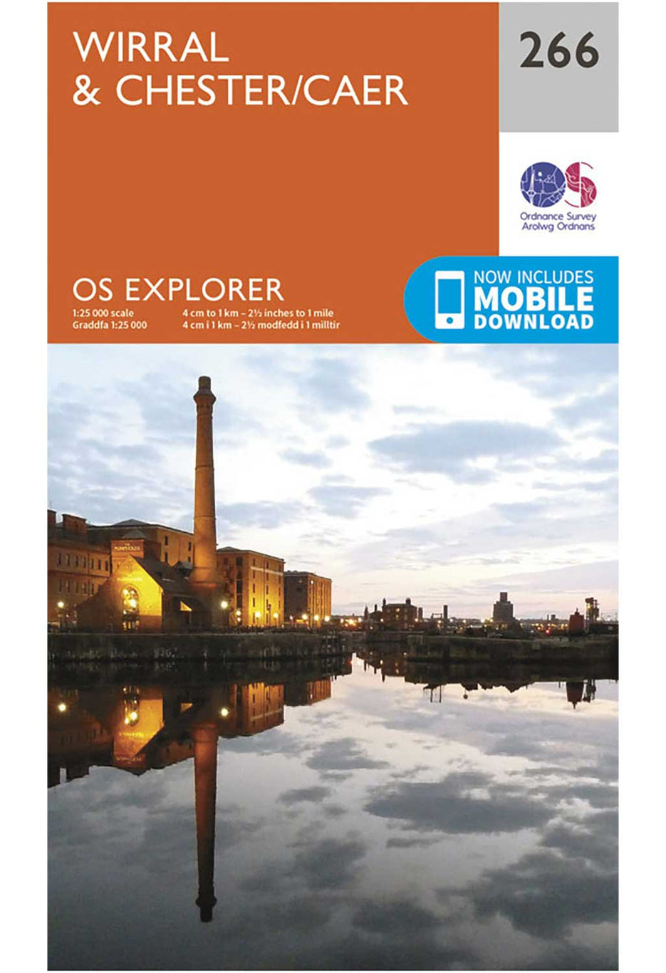
Ordnance Survey
Wirral & Chester - OS Explorer 266 Map
£13.00

Ordnance Survey
Lleyn Peninsula - Landranger 123 Map
£13.00
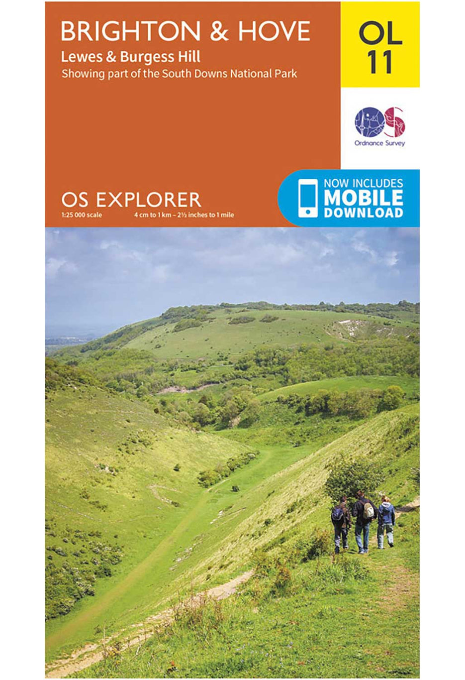
Ordnance Survey
Brighton & Hove - OS Explorer OL11 Map
£13.00
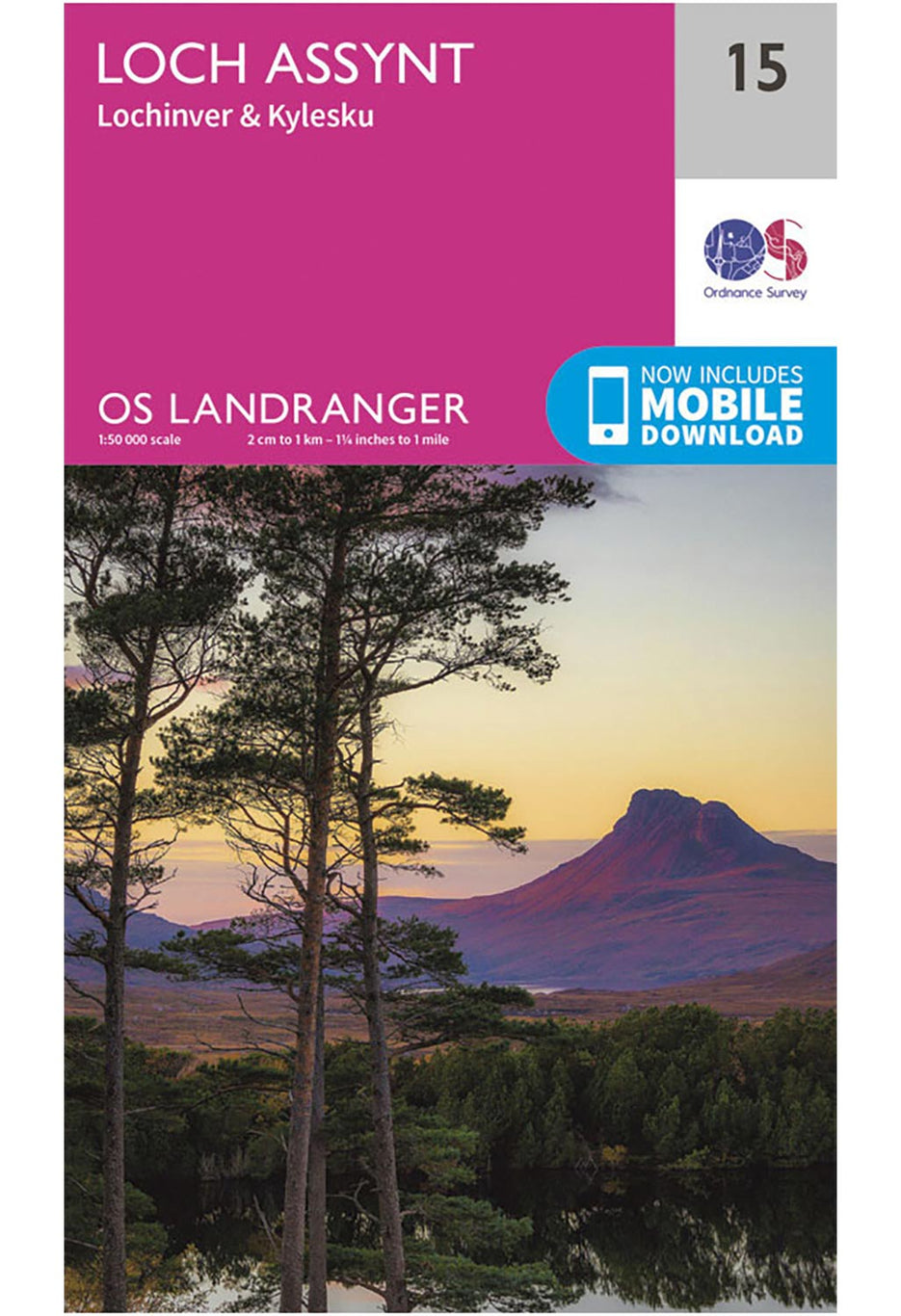
Ordnance Survey
Loch Assynt, Lochinver & Kylesku - Landranger 15 Map
£13.00
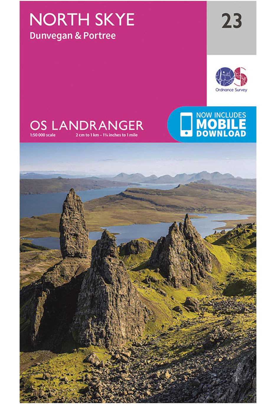
Ordnance Survey
North Skye, Dunvegan & Portree - Landranger 23 Map
£13.00
Ordnance Survey
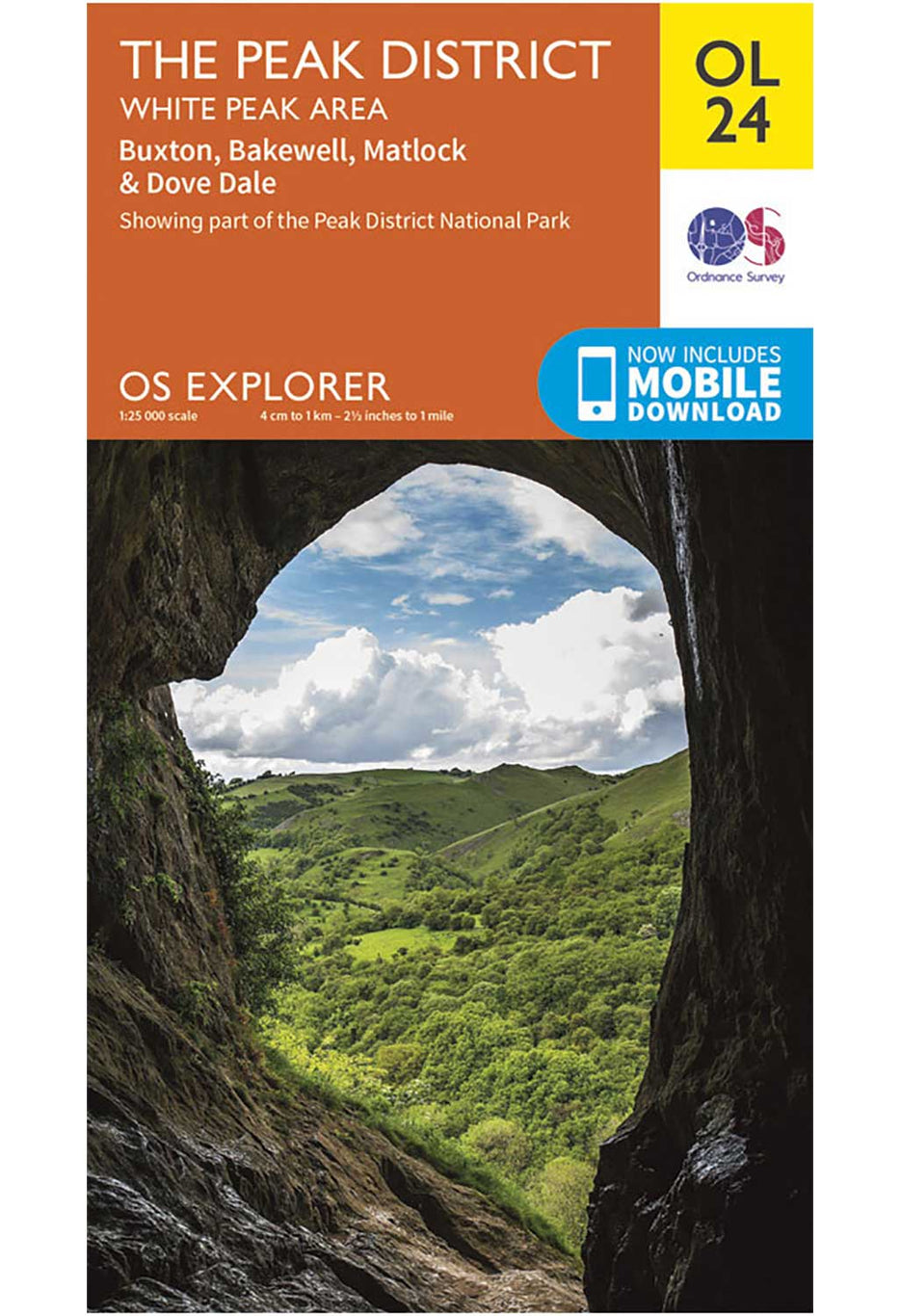
The Peak District, White Peak Area - OS Explorer OL24 Map
£13.00

Ordnance Survey
Brighton, Lewes & Haywards Heath - Landranger 198 Map
£13.00

Ordnance Survey
Ben Nevis, Fort William & Glen Coe - Landranger 41 Map
£13.00


An Interview with Photographer and Archivist Brian Kelley
Read more : An Interview with Photographer and Archivist Brian Kelley An Interview with Photographer and Archivist Brian Kelley: Read more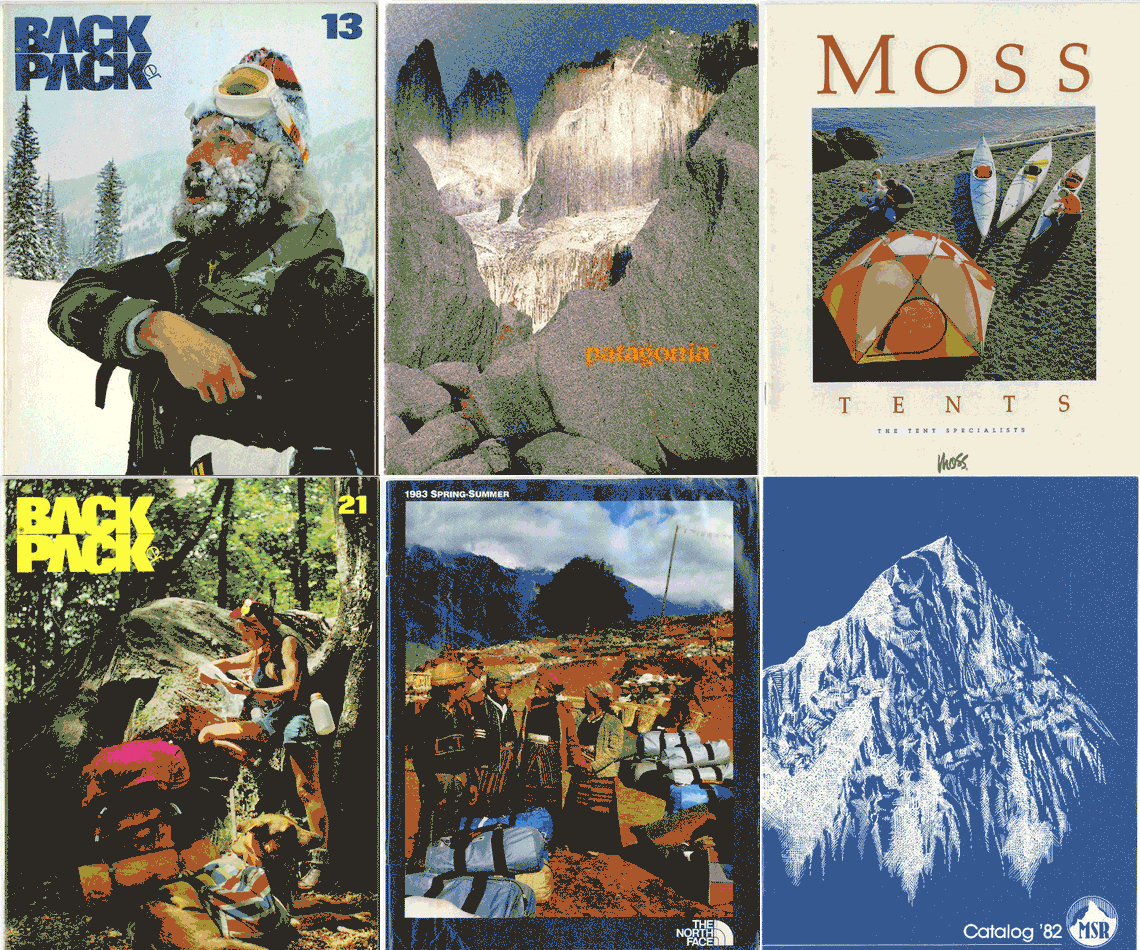
An Interview with Outdoor Recreation Archive
Read more : An Interview with Outdoor Recreation Archive An Interview with Outdoor Recreation Archive: Read more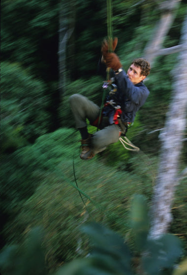
Hellbiking and the Human Animal: An Interview with Roman Dial
Read more : Hellbiking and the Human Animal: An Interview with Roman Dial Hellbiking and the Human Animal: An Interview with Roman Dial: Read more
Displaying items which are currently in your bag
Your bag is currently empty.
If you had an account on our previous website you just need to reset your password to reactive your account. Check your inbox for instructions.
However remote the terrain, Ordnance Survey maps give you the accurate, detailed information you need to navigate safely. Rights of way, fences, permissive paths and bridleways are clearly shown, ensuring you have the best information to get the most out of your time in the countryside. These are the map of choice for many walkers, climbers, off-road cyclists, horse riders and anyone involved in outdoor activities.
Search Outsiders Store
No results


