Ordnance Survey
Eastbourne, Hastings, Battle & Heathfield - Landranger 199 Map
£13.00
SKU: 178107900
However remote the terrain, Ordnance Survey maps give you the accurate, detailed information you need to navigate safely. Rights of way, fences, permissive paths and bridleways are clearly shown, ensuring you have the best information to get the most out of your time in the countryside. These are the map of choice for many walkers, climbers, off-road cyclists, horse riders and anyone involved in outdoor activities.
Ordnance Survey
Eastbourne, Hastings, Battle & Heathfield - Landranger 199 Map
£13.00
Ordnance Survey
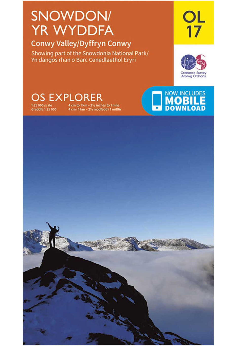
Snowdon - OS Explorer OL17 Map
£13.00
Ordnance Survey
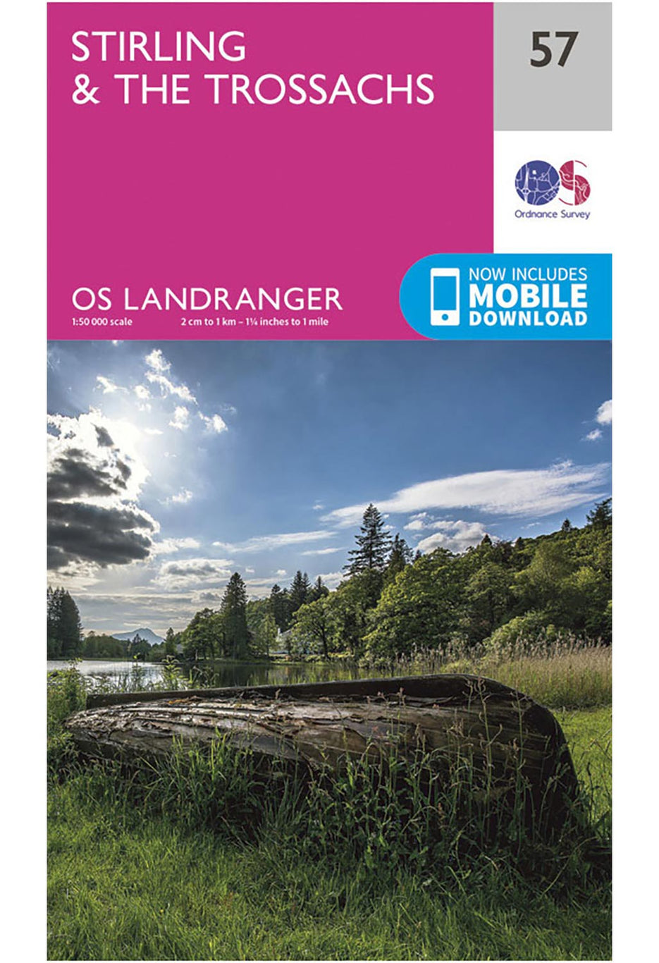
Stirling & The Trossachs - Landranger 57 Map
£13.00

Ordnance Survey
Land's End, Penzance & St Ives - OS Explorer 102 Map
£13.00
Ordnance Survey
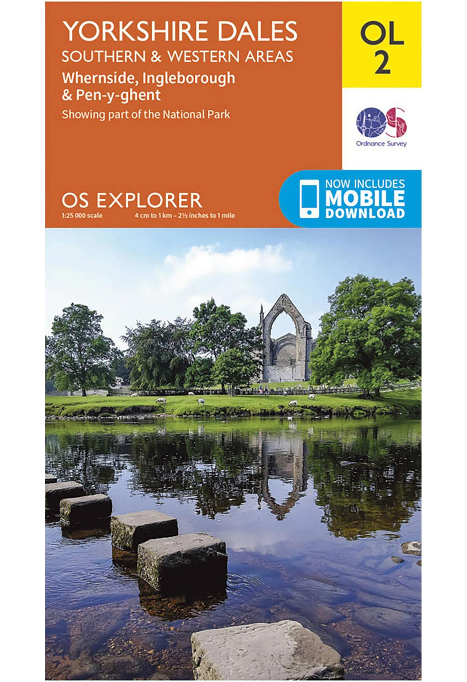
Yorkshire Dales - Southern & Western Areas - OS Explorer OL2 Map
£13.00
Ordnance Survey
The Peak District - Dark Peak Area - OS Explorer OL1 Map
£13.00

Ordnance Survey
Ben Nevis, Fort William & Glen Coe - Landranger Active 41 Map
£17.00

Ordnance Survey
The English Lakes - North Eastern Area - OS Explorer OL5 Map
£13.00
Ordnance Survey
The English Lakes - North Western Area - OS Explorer OL4 Map
£13.00
Ordnance Survey
The English Lakes - South Western Area - OS Explorer OL6 Map
£13.00

Ordnance Survey
Brecon Beacons National Park - Western & Central - OS Explorer OL12 Map
£13.00

Ordnance Survey
Brecon Beacons National Park - Eastern Area - OS Explorer OL13 Map
£13.00


An Interview with Photographer and Archivist Brian Kelley
Read more : An Interview with Photographer and Archivist Brian Kelley An Interview with Photographer and Archivist Brian Kelley: Read more
An Interview with Outdoor Recreation Archive
Read more : An Interview with Outdoor Recreation Archive An Interview with Outdoor Recreation Archive: Read more
Hellbiking and the Human Animal: An Interview with Roman Dial
Read more : Hellbiking and the Human Animal: An Interview with Roman Dial Hellbiking and the Human Animal: An Interview with Roman Dial: Read more
Displaying items which are currently in your bag
Your bag is currently empty.
If you had an account on our previous website you just need to reset your password to reactive your account. Check your inbox for instructions.
However remote the terrain, Ordnance Survey maps give you the accurate, detailed information you need to navigate safely. Rights of way, fences, permissive paths and bridleways are clearly shown, ensuring you have the best information to get the most out of your time in the countryside. These are the map of choice for many walkers, climbers, off-road cyclists, horse riders and anyone involved in outdoor activities.
Search Outsiders Store
No results